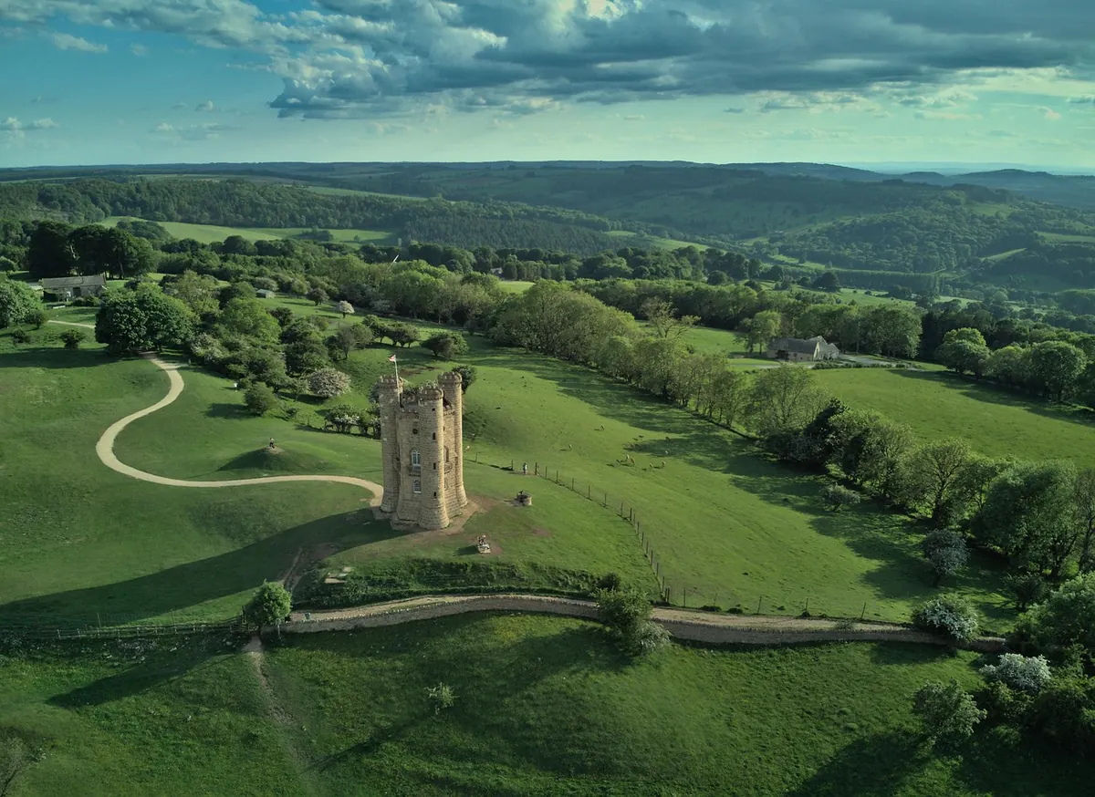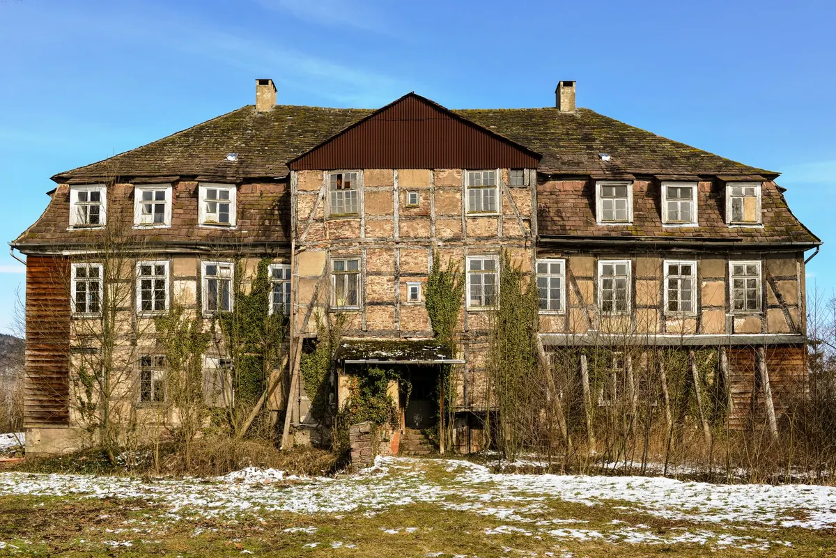
An estate map rewards slow looking. What first appears to be a decorative arrangement of green fields, tidy hedgerows and little clumps of trees is really a working document: a record of who owned which field, who rented it, where one property stopped and the next began, and which parts of the landscape had been improved. Most were drawn to a formula, and once you know the formula, an unfamiliar map becomes readable surprisingly quickly. You do not need to be a cartographer. You need patience, a magnifying glass and a rough idea of what the surveyor was being paid to show.
Read the paperwork before the map
Start at the edges. Almost every estate map carries a cartouche, the ornamental panel often tucked into a corner, which usually names the estate, the owner, the surveyor and the date. A dedication to the lord of the manor tells you who the map was flattering. The scale bar matters more than it looks: older surveys are often measured in chains, links, perches or roods rather than metres. A chain is 66 feet, ten chains make a furlong, eighty chains make a mile, and four roods make an acre. If a map looks oddly proportioned, check whether the scale is in local rather than statute measure.
Then find the north point. Many estate maps are not oriented north-up; some face the house, some follow the direction of a river, and some follow the compass rose only loosely. When you later compare the map with a modern one, this is the single most common source of confusion. Look too for a key, reference or table of parcels, and for the surveyor's own flourishes: hedges drawn as tiny loops, trees in individual clumps, cattle in the park. Decoration is not decoration. It is evidence of what the surveyor thought worth showing.
Work out what kind of map you are holding
The date and purpose shape everything else on the sheet. A rough guide:
- Estate surveys (17th to 19th century): often colourful, showing a single owner's land, with field names, acreages, tenants and reference letters keyed to a written schedule.
- Enclosure maps and awards (mainly late 18th to mid 19th century): record the redistribution of open fields and commons. Plainer in style, with numbered plots and an accompanying award listing owners and allotments.
- Tithe maps and apportionments (mostly the 1840s in England and Wales): show every parcel in a parish by number; the apportionment lists owner, occupier, field name, state of cultivation and the tithe rent charge.
- Sales particulars and plans: drawn to sell a property, so they flatter. Useful for detail, unreliable for boundaries.
- Ordnance Survey and later editions (19th to 20th century): standardised symbols and grid references, ideal for checking what survived.
Irish and Scottish material follows its own traditions, from Griffith's Valuation to the six-inch Ordnance Survey, but the reading skills transfer.
Decode colour, hatching and texture
Colour conventions were never universal, yet the patterns repeat often enough to trust. Parkland tends to appear as a pale wash with individually drawn tree clumps and a belt of timber along the boundary. Woodland is denser: stippled masses, dark outlines, occasionally small stools to indicate coppice. Water, whether a mill pond, a canal or a brook, is usually shown with a blue wash or fine horizontal lines. Arable is often left plain, sometimes with faint parallel strokes for ridge and furrow, while pasture and meadow take a green wash, meadow generally sitting near the river. Marsh, heath and rough grazing get reeds, tufts or dots. Always hunt for the key first. If there is none, work backwards from what the land could actually support.
Boundaries and the lines that matter
Boundaries carry more information than any other mark on the sheet. Parish boundaries are often pecked or dotted, estate boundaries firm and sometimes banded with colour, and field boundaries lighter still. A hedge is usually a line with small loops or a row of dots; a wall, two parallel lines with cross-hatching; a fence, a single line with regular ticks; a bank and ditch, two lines with shading between them. Deer park pales, park walls, gates, stiles and footbridges all have their own shorthand. On small-scale maps a single line can mean several things, so let the written schedule settle the argument rather than the drawing.
Read the working landscape
Buildings are where a map stops being abstract. A short field guide to what you are likely to meet:
- A solid square or rectangle with a small courtyard: farmhouse and yard.
- A long narrow building with dots or vents: barn, granary or cart shed.
- A wheel and a cross: windmill. A wheel beside a channel: watermill.
- A cross with a tower: parish church. A smaller cross: chapel or meeting house.
- Regular rows of tiny circles: orchard. Geometric beds and avenues by the big house: formal garden.
- Small circles or squares with labels: lime kiln, brick kiln, saw pit, ice house.
Surveyors varied, and estate maps often label buildings outright, so read the words before you trust a symbol.
Names, numbers and the schedule
Numbers scattered across the fields refer to a reference book, schedule or apportionment, and that document is half the map. Field names are a quiet goldmine: Great Barn Field, Kiln Close, Chapel Field, Tenter Hill, Tanhouse Meadow. They preserve uses and buildings that have vanished entirely. Check which acre the surveyor used, since older measurements can be generous or mean, and treat printed acreages as close rather than exact. Tenant names on the map or schedule are the bridge to parish registers, tithe files and census returns, and they are usually where a landscape history turns into a family history.
Your first hour with an old map
Work from a copy, not the original, and give yourself an ordered pass through the sheet:
- Write down the title, date, surveyor, scale and north point.
- Read any key, schedule or reference book alongside the map.
- Trace the estate boundary and the roads first. They are the most stable features, the skeleton everything else hangs on.
- Add water, then woods and parkland, then fields, then buildings.
- Compare with a modern map or aerial photograph, and with an earlier map of the same place if one exists.
- List what has changed and when, then take that list to the county record office, local archive or historic environment record.
The questions you cannot answer from one sheet are the ones worth chasing. A map is rarely the end of an enquiry; it is the most generous place to begin one.
Photo: Ylanite Koppens / Pexels